Description
Operation in 5 steps:
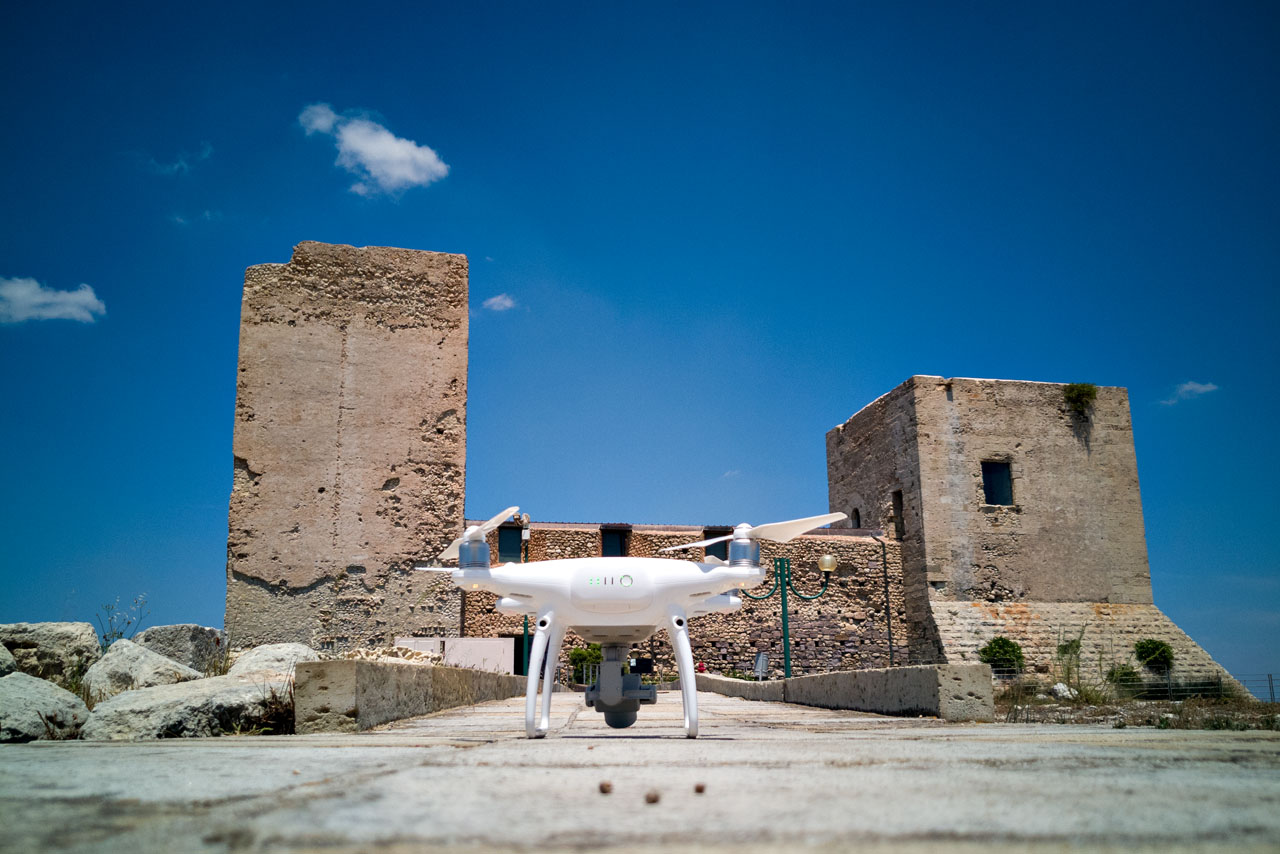
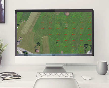
You set up the area to report on Google Earth and the software programs the whole mission on the APR
Automatic execution of the flight plan and taking the necessary photos
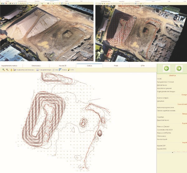
Download photos on PC and photogrammetric treatment until you obtain the orthophotomo saic and cloud of points
Create a topography comfortably installed on your PC by choosing the points to beat, choose the real DTM that eliminates trees, roofs of house etc., create dimensioned plans, with lines of discontinuity, outlines, etc. Profiles and cladding of classical cartography that, contours, calculate the volume, all in one software
Offer your client a selection of classic topographical works such as a map dimensions, profiles, sections, etc., but also cloud files, a scaled orthomosaic, a 3D model in BIM and / or GIS for mat, a 3D printing.
Owning the IMMAGINA system allows you to differentiate yourself and allows you to obtain jobs that others can not do at the moment, strengthening your pro professionalism.
IMMAGINA is a complete system for easy topography water after a scheduled flight of minutes and get some reliable measurements that you choose. No more problems of time, effort, ob stacles on the ground, weather … but a few minutes and you will take home all the territory you want to detect.
What can you do ? Application sectors:
- Classic photogrammetry
- Precise topography of small and large areas in a period of time
- Calculation of volumes for quarries and discharges, with discontinuity lines, contours, etc.
- Profiles and layout of classic mapping, contours, volume calculation in a single software
- Surveys for general or executive projects of civil works such as roads, roads, subdivisions, urban expansion, etc.
- Surveys in inaccessible areas.
- Geological surveys.
- Landslides and monitoring
- Checks and location after natural events such as fire, flood storms, earthquakes, etc.
- Photographs for inspections in hard-to-reach areas.
- Professional videos.
- Photographic documentation for assessments and causes