Description
Survey of land, with gradients, for restitution of the listed plan, streets’ representation
 |
Cloud points
With 1 topographic point every 50 cm
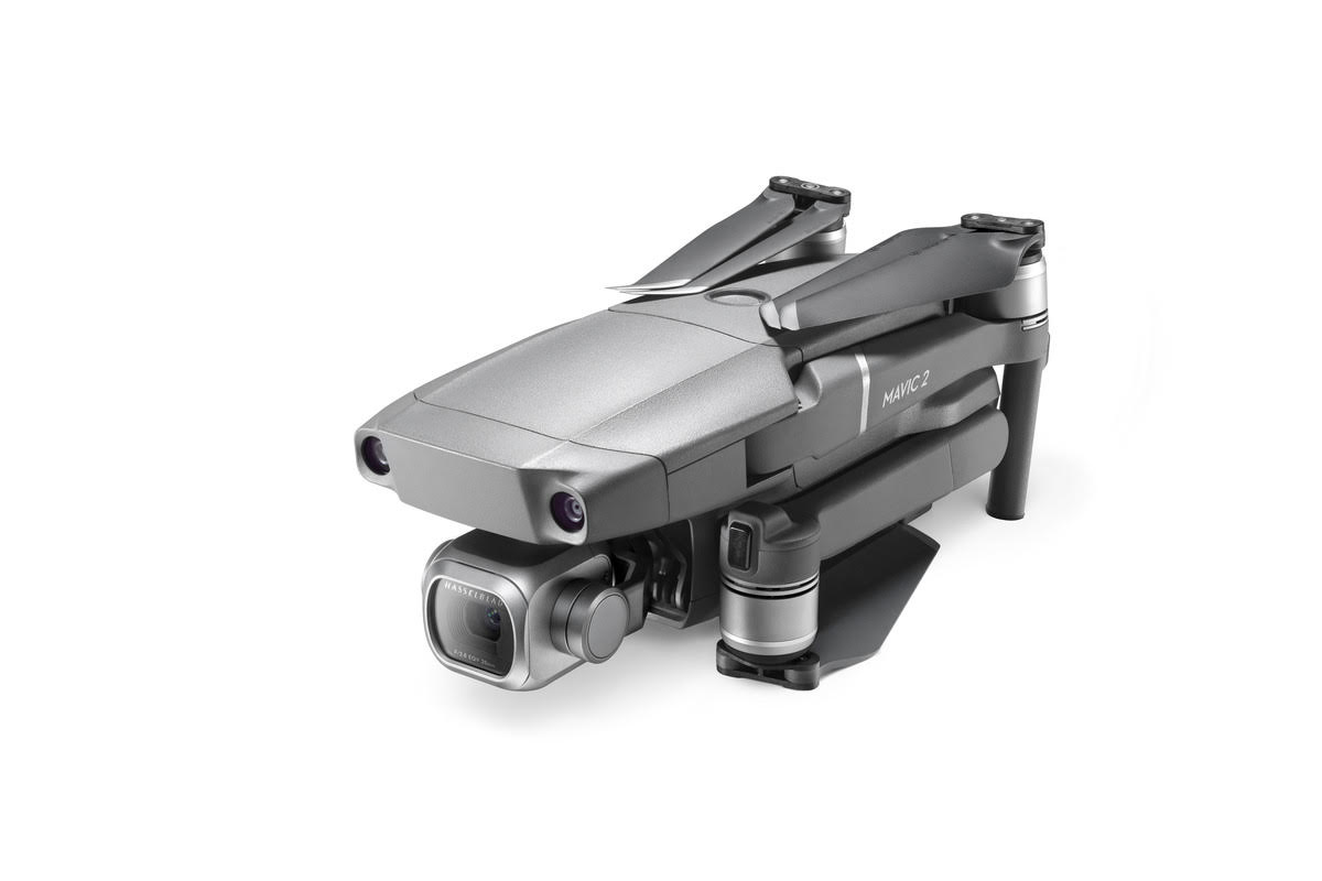
Flight 60 meters above the ground |
|
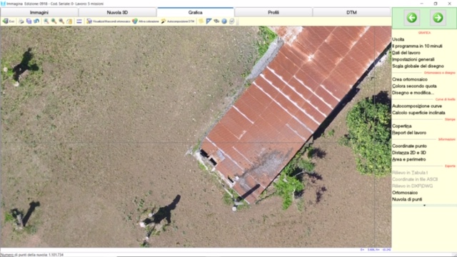
Orthomosaic 2D
With overlap of points for the dimensioned plane and roads’ representation and level curves |
|
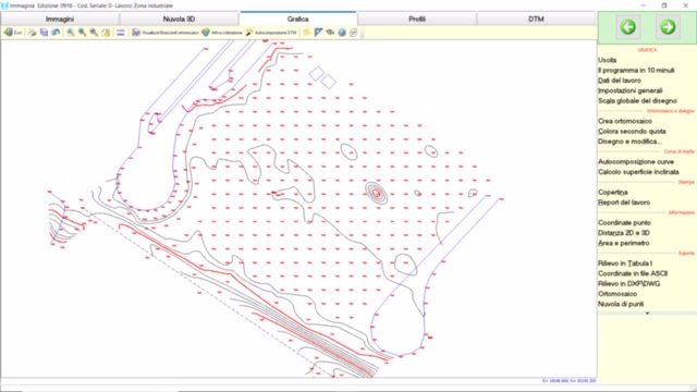
Dimensioned plan and roads’ representation and level curves without orthomosaic |
|
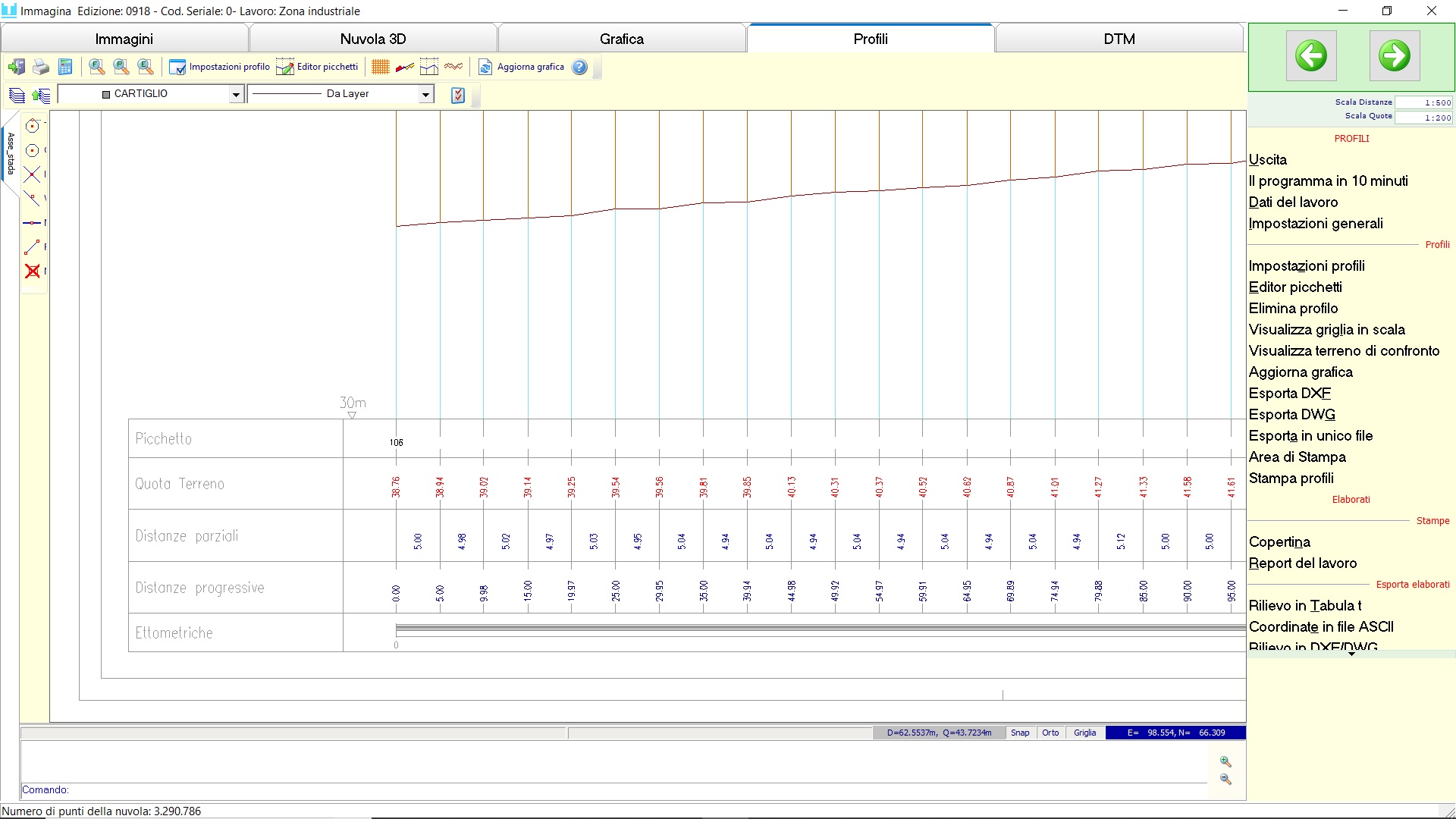
Street profile with stake every 5 meters,
With dimensions and distances |
Survey of ground with dimensioned plan, level curves, calculation of excavation volume
and carryover, DTM terrain
|
Orthomosaic in scale,
With topographic points
Flight 100 meters above the ground |
|
Dimensioned plane with grid of points every 15 meters.
representation of the mound of earth
Representation of the road and building
With road profile and pegs every 5 meters
Processed exportable in DXF and DWG |
|
Representation of the contour curve |
|
DTM 3D representation of the terrain according to the mesh of points chosen by us
With overlapping topographic points created in the office |
|
Road profile With pegs every 5 meters, odds and distances |
Land survey with a dimensioned plane, and surveyed building for measurement
|
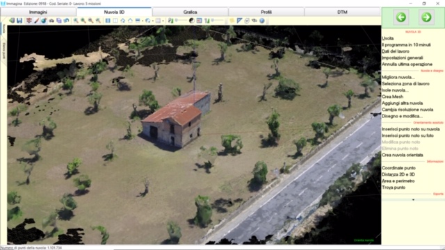
Points cloud.
Flight performed with camera tilted 60 meters above the ground, to return even the vertical part of the elements (manufactured) |
|
Cloud detail of points on which topographic
points are created, measurements and details |